The LS postcode area, also known as the Leeds postcode area, is a group of 29 postcode districts in England, within six post towns. These cover northern West Yorkshire (including Leeds, Wetherby, Pudsey, Otley and Ilkley) and some parts of North Yorkshire (including Tadcaster).
Coverage
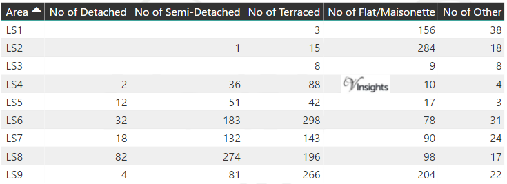
The approximate coverage of the postcode districts:
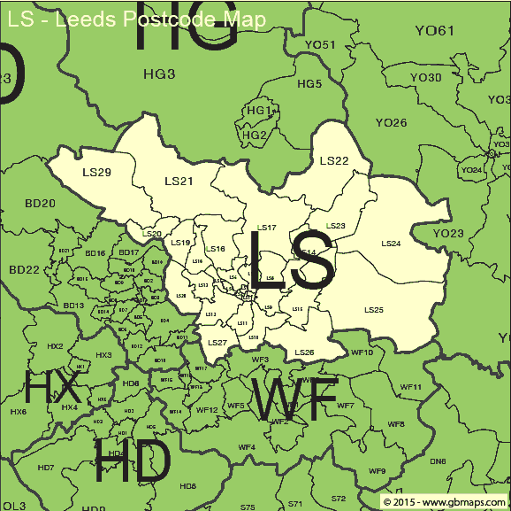
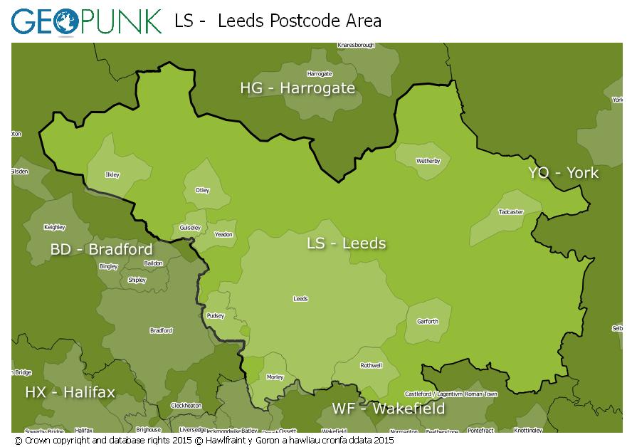
Map
See also
- Postcode Address File
- List of postcode areas in the United Kingdom
References
External links
- Royal Mail's Postcode Address File
- A quick introduction to Royal Mail's Postcode Address File (PAF)